The Charles River meanders from Echo Lake in Hopkinton to Boston Harbor. I'm paddling it to Boston on day trips.
From the river's source to its mouth in a straight line is 26 miles, but it circles for 80 miles, over 19 dams, under 113 bridges, and through 23 cities and towns earning its Algonquin Indian name Quinobequin, meaning circular. The river was renamed after Prince Charles of England in the 17th century.
This is the Charles River Canoe Guide that I am following. It's copywritten 1973 and includes some minor out of date information like referencing parking at a Zayre department store lot, but is mostly accurate, and free. Here is the track, from the first readily navigable point in Medway, to Boston, that I created for my GPS receiver. This is the government website that monitors water levels at the various gauge stations along the Charles and publishes their readings.
My overall impression of this section was that of being in the bayou or jungle miles away from anyone, strange enough as that seems in MetroWest Massachusetts.
The water level was low because the weather and season, so I had to walk the kayak in a few places. There are no dams along the route I traveled today.
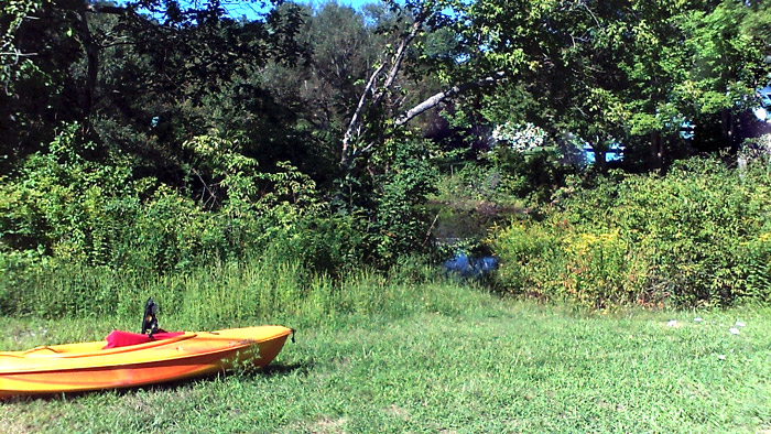
Launch point at Populatic Street in Medway. There are a few street side parking spaces on Walker Street there.
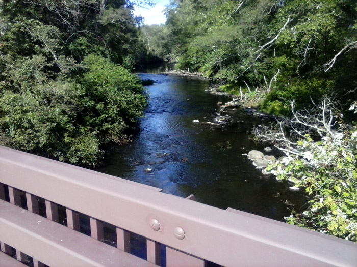
The takeout I used, and its small parking lot, is on the Norfolk side of the river off Baltimore Street, Route 115, immediately after the bridge on the right.