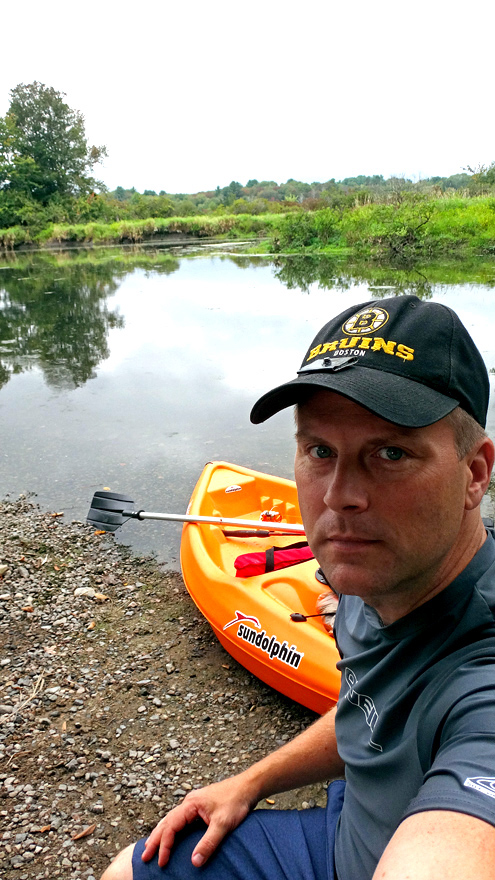
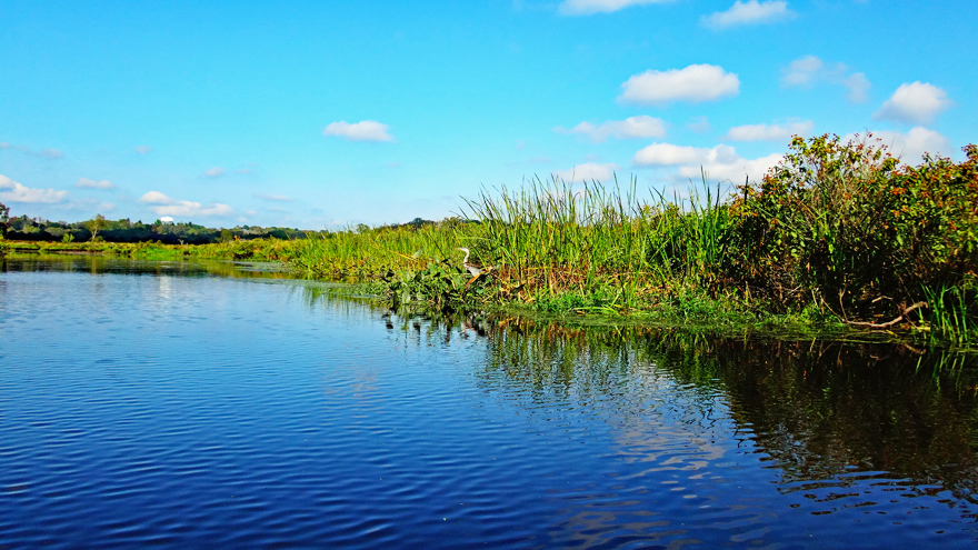
The Charles River meanders from Echo Lake in Hopkinton to Boston Harbor. I'm paddling it to Boston on day trips.
From the river's source to its mouth in a straight line is 26 miles, but it circles for 80 miles, over 19 dams, under 113 bridges, and through 23 cities and towns earning its Algonquin Indian name Quinobequin, meaning circular. The river was renamed after Prince Charles of England in the 17th century.
This is the Charles River Canoe Guide that I am following. It's copywritten 1973 and includes some minor out of date information like referencing parking at a Zayre department store lot, but is mostly accurate, and free. Here is the track, from the first readily navigable point in Medway, to Boston, that I created for my GPS receiver. This is the government website that monitors water levels at the various gauge stations along the Charles and publishes their readings.